
Tarsetdale Bastles - Northumberland Walk
Wednesday 23rd June 2021
A walk that enabled us to explore some of the history of Northumberland whilst also enjoying a mixture of views. Taking a wrong turn on the way to the start of the walk also worked out to our advantage. Starting the walk at a different point to where we originally planned to do so meant we walked through the woods first and therefore avoided being in amongst the trees following the shower towards the end of the walk which brought all the midges out.
Start: Sidwood car park
Route: Sidwood car park - Waterhead - Black Middens Bastle - Comb - Birkley Wood - Belling Rigg - Heathery Hall - Gatehouse - Burnmouth - Sidwood car park
Distance: 8.5 miles Ascent: 269 metres Time Taken: 4 hrs 25 mins
Terrain: Clear paths
Weather: Overcast and warm with one shower
Pub Visited: Holly Bush Inn, Greenhaugh Ale Drunk: Big Lamp Brewery, Prince Bishop Ale
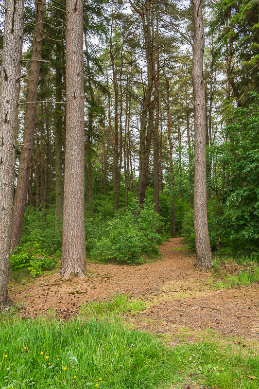
The well signed Sidwood Trail started at the car park and made negotiating what
otherwise would have been a tricky path to follow very easy.
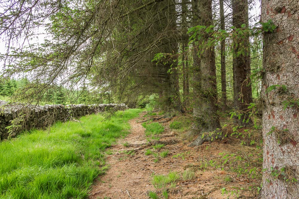
The track soon crossed the road we had travelled in on and then continued on close to the edge of this section of the forest.
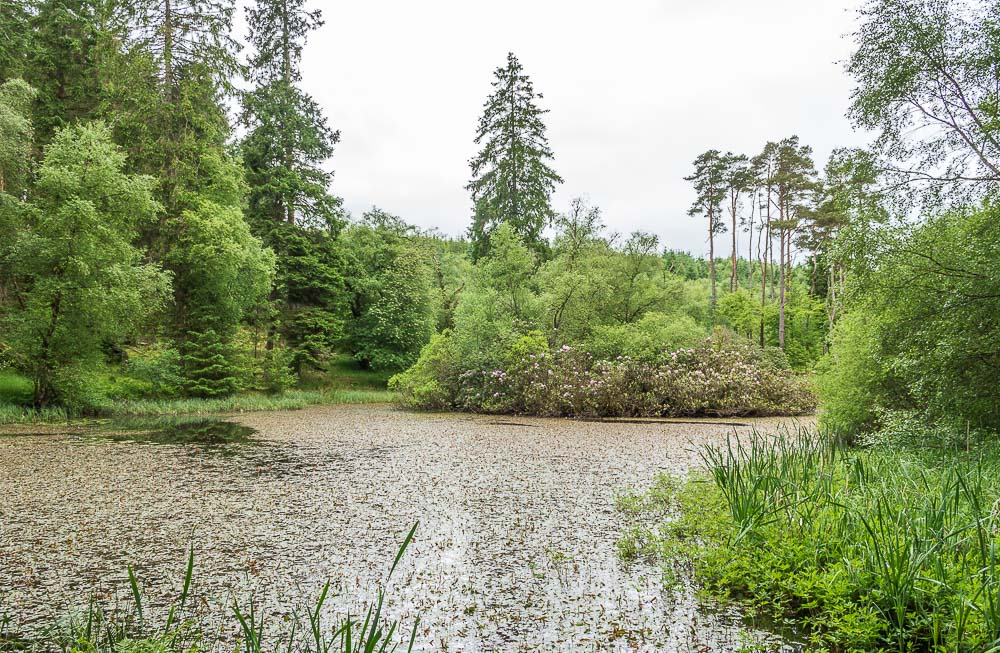
Having now started following the Tarset Bastle Trail we come across this delightful pond.

The pond was close to the Sidwood Iron Age Settlement which we tried to locate using the sign.

The only section of the settlement we could identify was this tree,
the banks of the settlement were lost in the long grass.
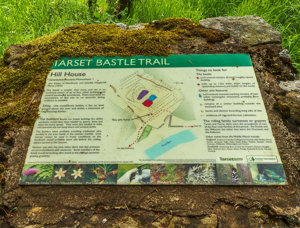
Having been unable to really identify the outline of the previous settlement we hoped we would have more luck at the next one.
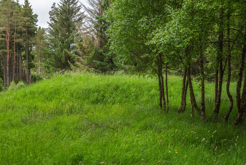
This time we could identify quite a few of the banks of the settlement at Woodhouse and the location of some of the former dwellings, including this former turf covered building.
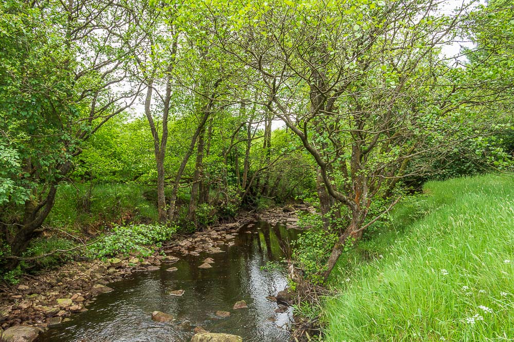
We followed the route of Tarset Burn up stream, passing by the location of Waterhead Bastle, although this was another structure we failed to be able to identify clearly.
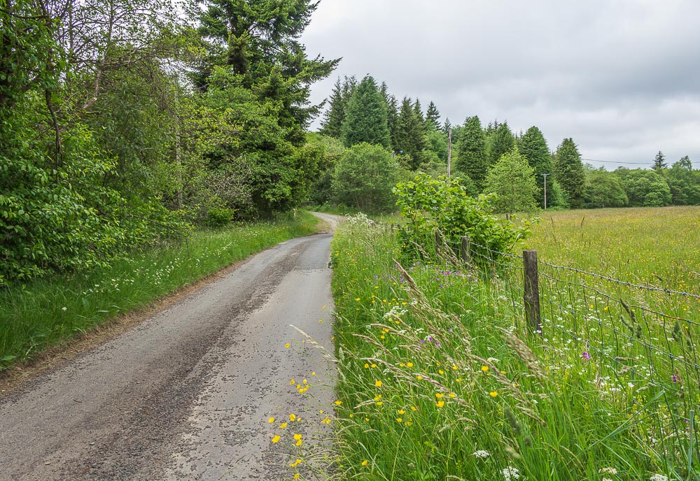
At Waterhead we head out along the road towards what should have been that start of the walk at Black Middens Bastle.
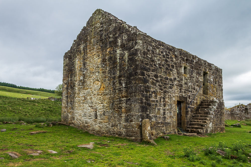
The out and back we did from Waterhead meant we were able to visit Black Middens Bastle. The steps lead to the living quarters as in order to improve the bastle's defensive capabilities the animals were housed on the ground floor and the humans lived on the first floor.
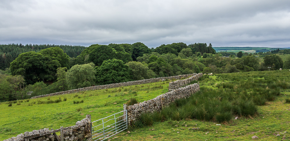
From the top of the steps the view of the surrounding area shows how living on the first floor helped improve their defensive abilities. It certainly would have helped with spotting groups of raiders coming over the border. In the distance the area of cleared woodland on Gillie Hill is where we will be heading next.
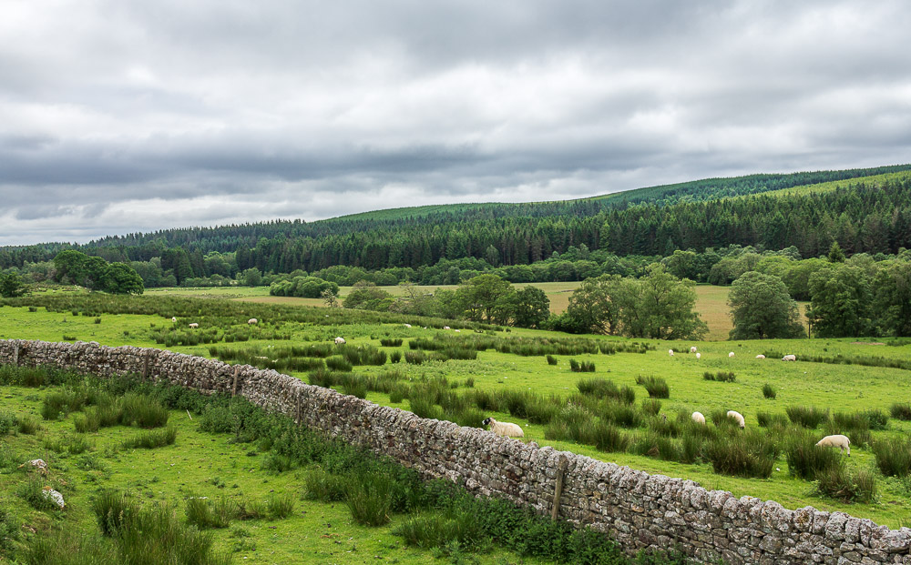
Looking across the valley in the direction of Sidwood, which is where we have just come from.
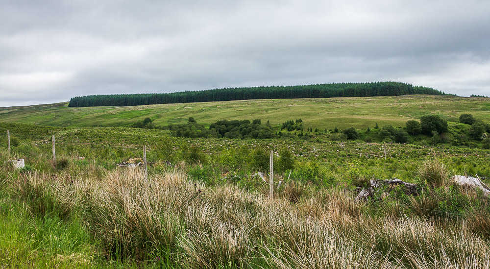
Walking up the forest track from Comb and thanks to all the clearing that has taken place we can look across Gilliehill Clints to the wood we will be walking around later.
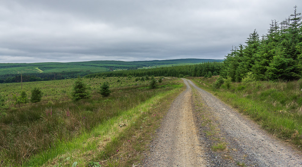
Looking back down the track in the direction of Highfield.
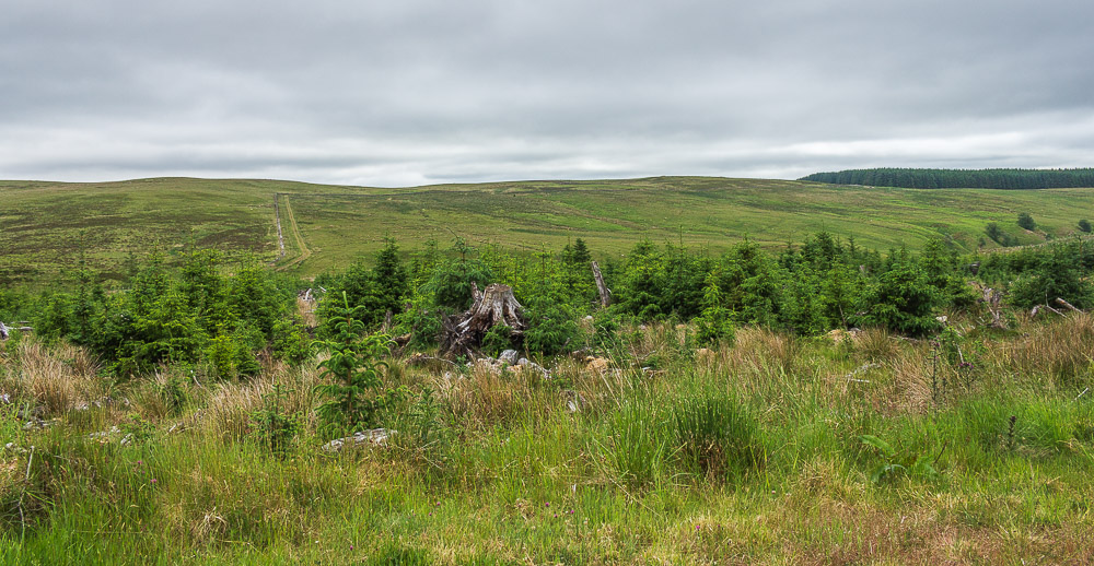
Our route will take us up the clear track, seen here on Lightning Bog, and then turn with the wall, but first lets see if we can find a suitable spot for lunch.
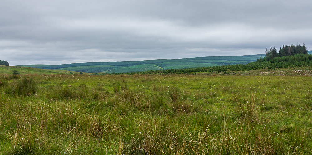
Looking across Lightning Bog to Highfield from our lunchtime spot.
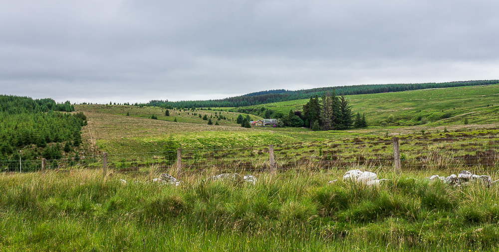
Despite our remote location lunch was spent watch a workman carting his material from where we had turned off the forest track to where he was working at Ridley Shiel. It certainly must have slowed him down as is wasn't a short journey.
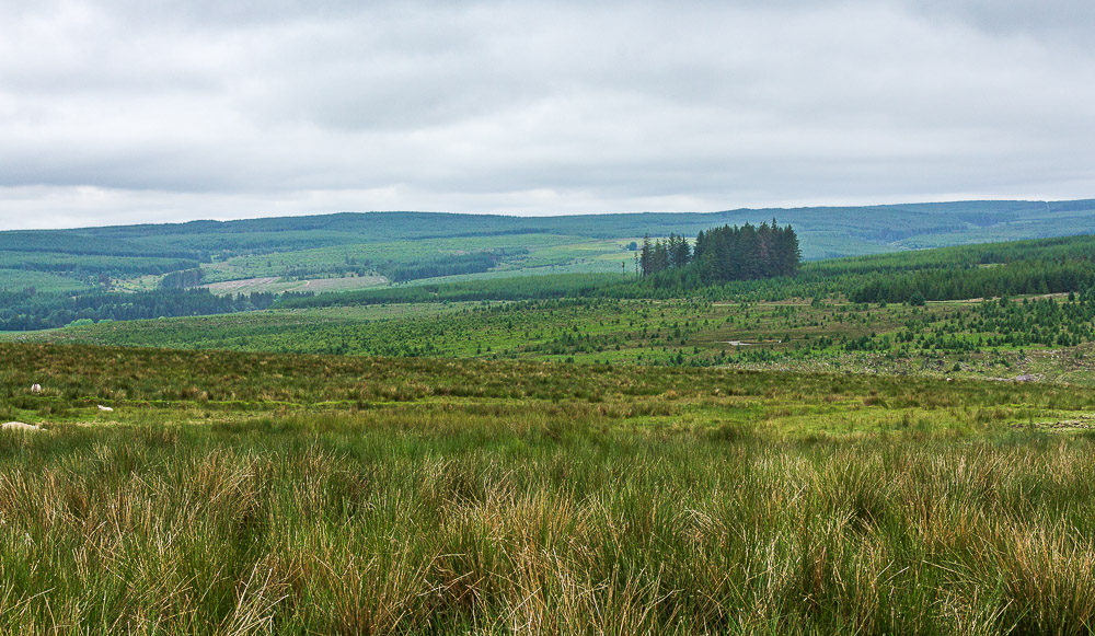
Lunch over we make the short ascent up Lightning Bog and turn with the wall for a view of Gilliehill Clints and Highfield.

Having reached the nameless wooded area we turn to walk along the track next to Belling Quarry.
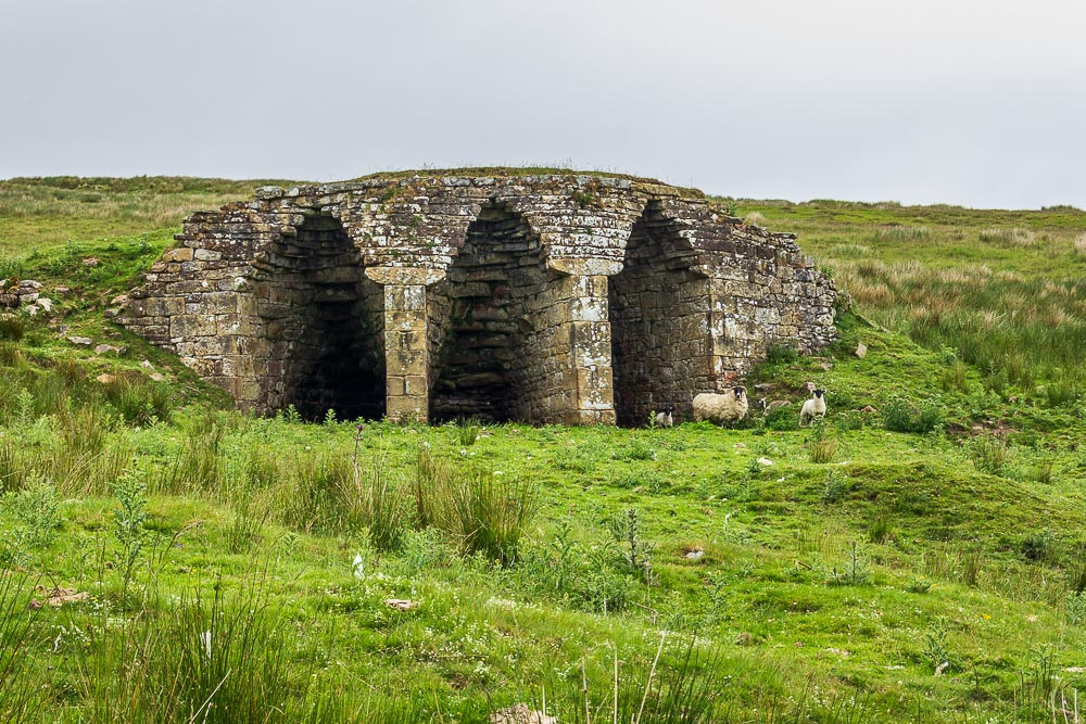
The remains of the old limekilns at Belling Rigg come into view, although the locals aren't too pleased to see us.
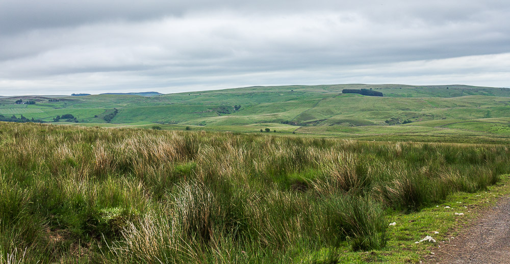
As we start to head downhill the scenery changes and we now find ourselves looking across at the moors beyond Bellingham. In the distance Whitley Pike on the Pennine Way is visible.
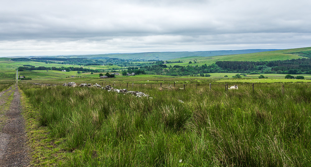
Heading down to Heathery Hall we get a view across the fields we will shortly be crossing to Thorneyburn Fell and a distant Snabdaugh Moor.
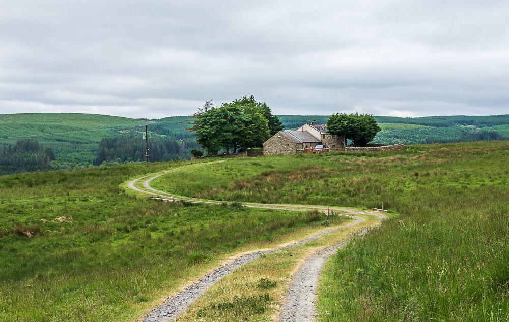
Heathery Hall comes into view as does the first real threat of rain. Shortly after passing Heathery Hall the rain decided to arrive and there was no choice but to pack the camera away and don waterproofs. The next section saw us following paths across fields which were full of wildflowers and would have made for some delightful pictures. Needless to say once we were clear of the fields and had very wet trouser legs, courtesy of the unmowed fields, the rain stopped.
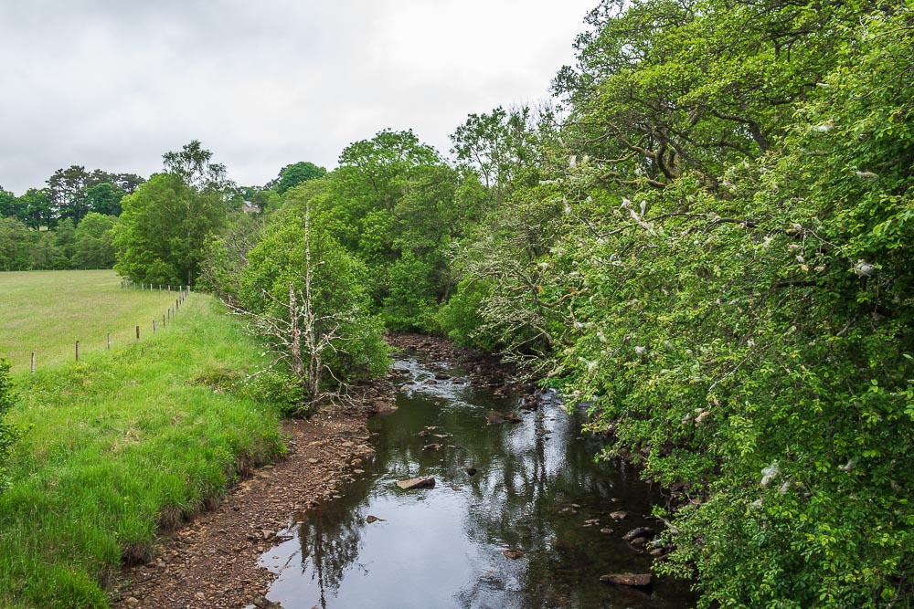
Tarset Burn as we emerge onto the road at Burnmouth.
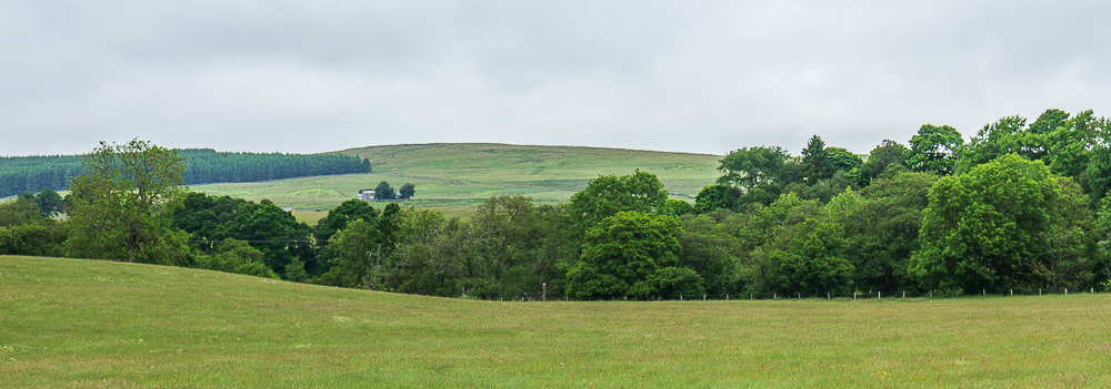
Looking back across the fields to Heathery Hall, with Belling Rigg behind it.
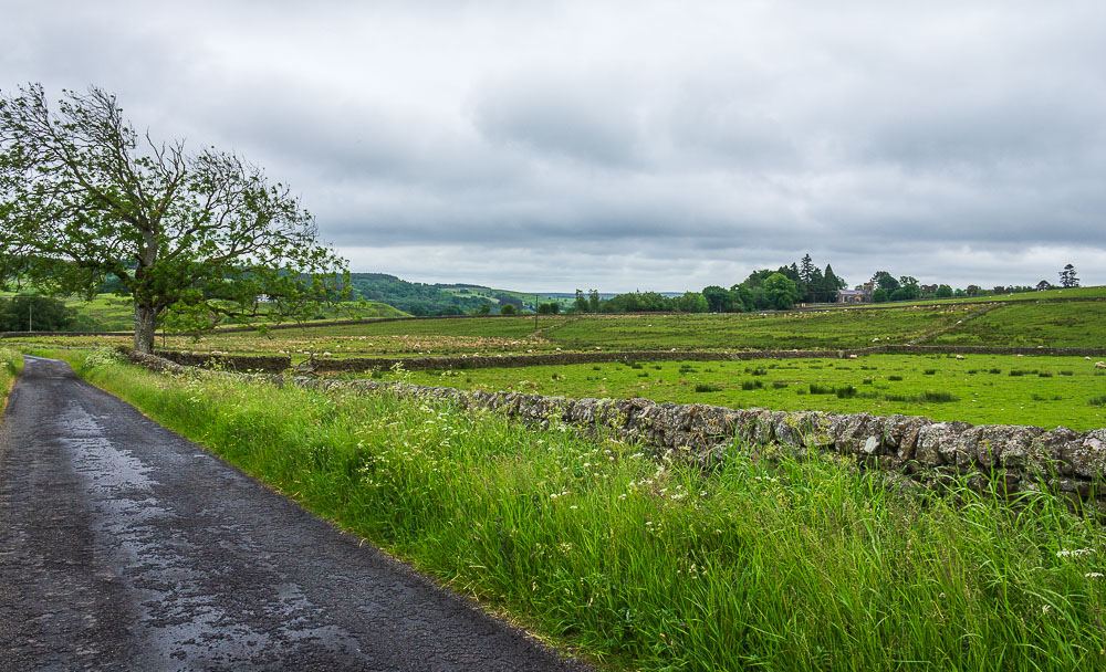
Heading back along the road to the car and there is time to enjoy the views, here looking across the fields in the direction of Thorneyburn.
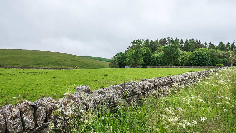
Brier Hill comes into view as we near the car, which is parked at the edge of the woods ahead.
All pictures copyright © Peak Walker 2006-2023